Reporting on Forest Conditions
About Forest Conditions
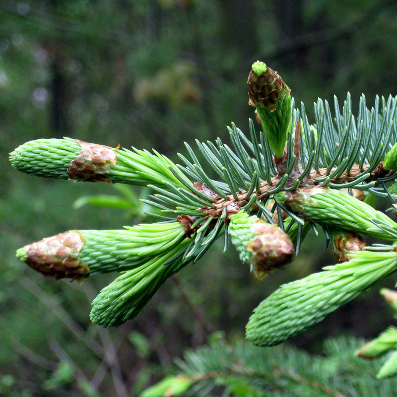
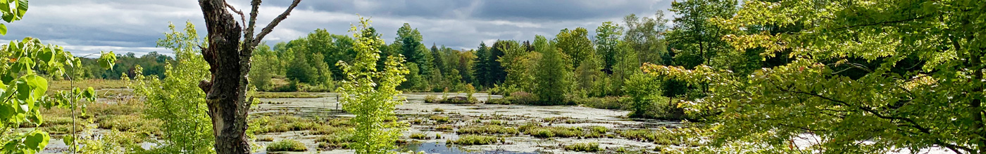
Forest and riparian areas (trees, shrubs and plants near streams, lakes and rivers) provide important ecosystem services. They provide habitat and shade, help to clean our air and water; and they protect the soil which promotes infiltration and reduces both erosion and flooding. Forests also absorb greenhouse gases and help to cool the land and air acting as nature’s ‘air conditioner’.
Three indicators are used by conservation authorities to assess forest conditions at the watershed and subwatershed scale: Percent Forest Cover, Percent Forest Interior, and Percent Riparian Zone Forested. Conservation authorities use the most recent data available to them to calculate forest conditions.
Forests are not just about how many trees there are – it’s also about the quality and diversity. The greater the variety of native species for both trees and vegetation, the more resilient a forest and its surrounding area is to climate change impacts such as drought, extreme weather and invasive species.
Although it is not part of these report cards, forest biodiversity is critical to overall watershed resilience. Some conservation authorities are including information on their wetlands such as percent wetland cover. This is the percentage of the watershed that is in wetland cover. Wetlands include swamps (treed and thicket), bogs, fens, and marshes.
The greatest threats to forests, wetlands and riparian areas are urbanization, changes to natural water levels, invasive species, pollution and climate change.
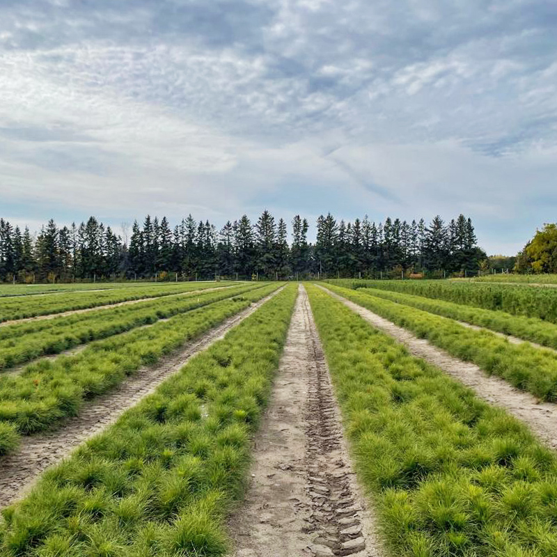
Forest Cover
Most conservation authorities use Southern Ontario Land Resources Information System (SOLRIS) I or II mapping data as the primary source of forest cover. As well, forested or wooded area can easily be measured using GIS (Geographic Information System) technology. Depending on resources, some conservation authorities will have newer or improved mapping.
In the watershed report cards, the words ‘forest’ and ‘woodland’ are used interchangeably. Because the conservation authorities use GIS, the SOLRIS definition for woodland is used, with ‘woodland’ describing areas with more than 60% tree cover and greater than 2m in height. This aligns with the Ecological Land Classification for Southern Ontario (Ontario Ministry of Natural Resources 1998).
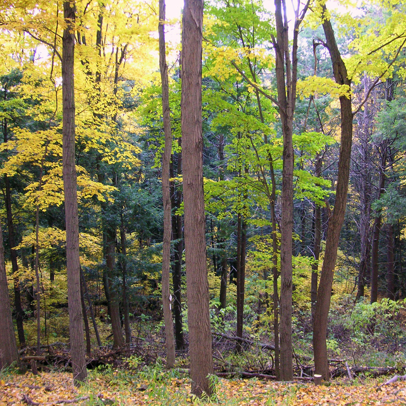
Forest Interior
Forest interior refers to the protected core area found inside a woodlot that some bird species require to nest and breed successfully. The outer 100 metres perimeter of a woodlot is considered ‘edge’ habitat and prone to high predation, sun and wind damage, and is more susceptible to invasive species. For these report cards, forest interior is that portion of a woodlot that remains when a 100m buffer is removed from the inside perimeter of a wood lot (e.g. 100m from the outside edge).
Riparian Zone Forested
The watershed report cards track and measure the riparian zone (or buffer zone of vegetation) which is a swath of land, 30 metres wide, on both sides of a river or stream. These vegetation zones are important areas because they have many functions: they provide important habitat for birds, fish and other wildlife and organisms, it helps to improve water quality by filtering sediment and contaminants, and it is essential in helping to reduce or prevent flooding and erosion.